Articles | Volume 18, issue 7
https://doi.org/10.5194/essd-18-5329-2026
© Author(s) 2026. This work is distributed under the Creative Commons Attribution 4.0 License.
Data description article
| 
24 Jul 2026
Data description article |
| 24 Jul 2026
| 24 Jul 2026
Mapping three decades of urban growth in China: a 30 m annual building height dataset (1990–2019)

Related authors
Int. Arch. Photogramm. Remote Sens. Spatial Inf. Sci., XLIX-B2-2026, 559–567, 2026
Earth Syst. Sci. Data Discuss., 2026
Revised manuscript under review for ESSD
Earth Syst. Sci. Data Discuss., 2026
Revised manuscript accepted for ESSD
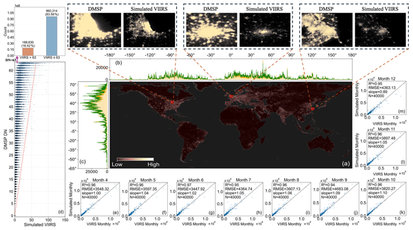
Earth Syst. Sci. Data, 18, 3449–3479, 2026
Earth Syst. Sci. Data Discuss., 2025
Manuscript not accepted for further review
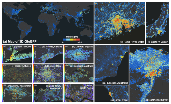
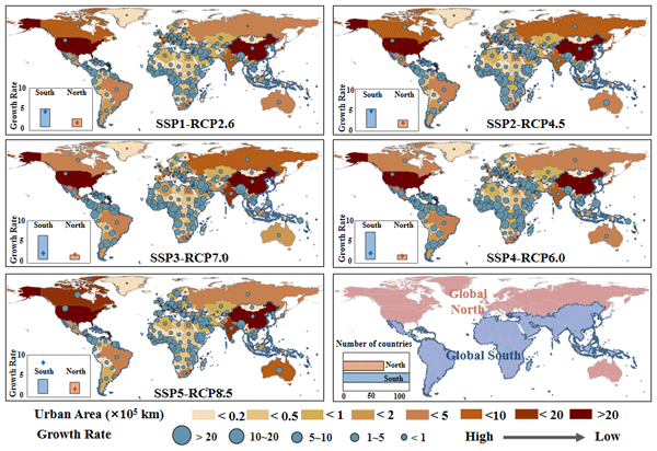
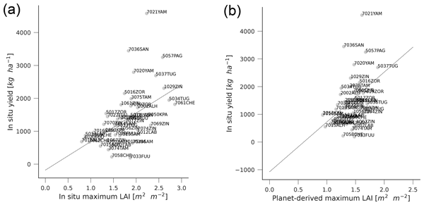

Cited articles
Alahmadi, M., Atkinson, P., and Martin, D.: Estimating the spatial distribution of the population of Riyadh, Saudi Arabia using remotely sensed built land cover and height data, Comput. Environ. Urban, 41, 167–176, https://doi.org/10.1016/j.compenvurbsys.2013.06.002, 2013.
Cao, Y. and Weng, Q.: A deep learning-based super-resolution method for building height estimation at 2.5 m spatial resolution in the Northern Hemisphere, Remote Sens. Environ., 310, 114241, https://doi.org/10.1016/j.rse.2024.114241, 2024.
Chawla, N. V., Bowyer, K. W., Hall, L. O., and Kegelmeyer, W. P.: SMOTE: synthetic minority over-sampling technique, J. Artif. Intell. Res., 16, 321–357, https://doi.org/10.1613/jair.953, 2002.
Che, Y., Li, X., Liu, X., Wang, Y., Liao, W., Zheng, X., Zhang, X., Xu, X., Shi, Q., Zhu, J., Zhang, H., Yuan, H., and Dai, Y.: 3D-GloBFP: the first global three-dimensional building footprint dataset, Earth Syst. Sci. Data, 16, 5357–5374, https://doi.org/10.5194/essd-16-5357-2024, 2024.
Chen, P., Huang, H., Qin, P., Liu, X., Wu, Z., Zhao, F., Liu, C., Wang, J., Li, Z., Cheng, X., and Gong, P.: Characterizing dynamics of built-up height in China from 2005 to 2020 based on GEDI, Landsat, and PALSAR data, Remote Sens. Environ., 325, 114776, https://doi.org/10.1016/j.rse.2025.114776, 2025.


